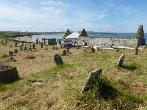
There was an open day at the Eye Church (properly designated: Eaglais na h-Aoidhe), 4 miles east of Stornoway on the eastern end of the Braighe isthmus, which links Point to mainland Lewis. The church, which dates back to the 14th century, had fallen into disrepair. It is now lovingly being restored at the behest of the Eye Church Trust. As the picture shows, the event was well attended, much helped by the warm weather.
After having a look round, I started the 6½ mile walk back to Stornoway. I began by going down the beach on the northern flank of the Braighe.
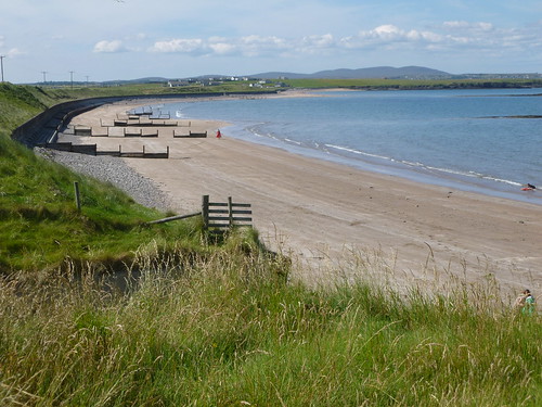
At the far end lies the village of Melbost, which shares its village road with Branahuie [Braighe na h-Aoidhe] near the airport. I crossed the main road to Point, the A866, and walked down the shinglebank that leads towards the next hamlet, Holm.
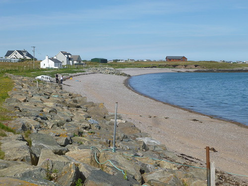
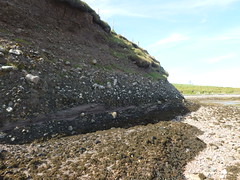
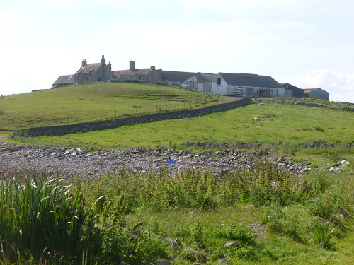
After Holm, the coastline becomes a bit of a maze around fences, cliffs and streams. I managed very well, until this stretch of barbed wire, only a hundred yards short of the Iolaire Memorial. Even the cliffs posed no major problems, although it was a tad hairy past Holm Farm.
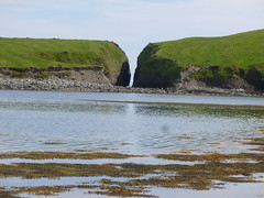
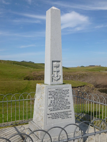
The green island with the sharp cleft lies offshore. I had to double back inland to reach the path the Iolaire Memorial. On a beautifully calm day like today it is difficult to imagine that 205 sailors drowned there on New Year's morning 1919 - but it did happen, amidst a force 8 gale. Their loss is still felt in this island.
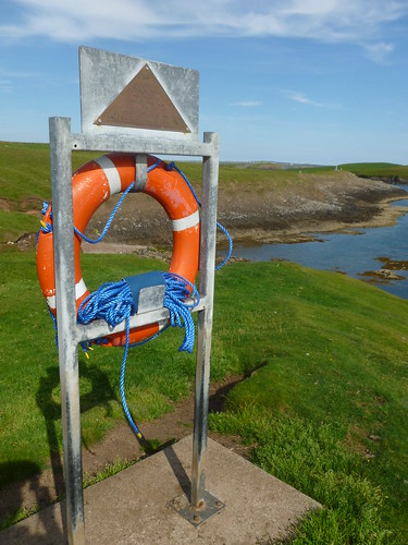
But even today, the cliffs here claim lives, and following the tragic loss of a 16-year old lad in 1995, two lifebuoys were installed on Holm Point, near the Iolaire Memorial.
From Holm Point, it was a simple walk back to Stornoway, past Stoneyfield Farm, Lower Sandwick and Sandwick Bay.