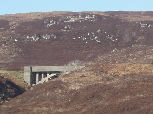
you'll find that the road turns into a track, and a little further on, will end in a bog. 90 years ago, there were plans to extend the Stornoway - Tolsta road all the way to Ness, 10 miles further north. It has never come to anything. Walking the distance is a challenging undertaking.
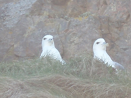
Meanwhile, on the beach, the rock stacks are home to fulmars, a type of small gull, which spit fish oil at you if you come too close. Fortunately, they were 30 feet up, so well out of range.
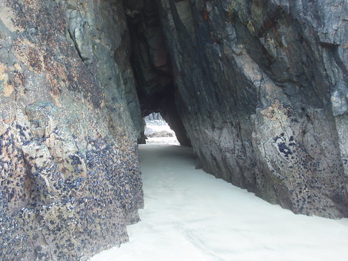
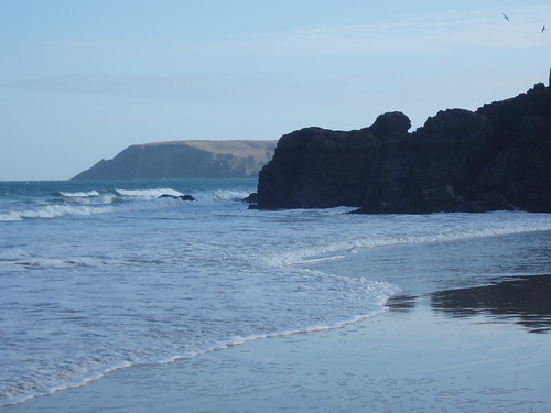
The stacks are pieces of the mainland, which coastal erosion has separated onto the beach. They have subterranean passage, which (at certain times) you can walk through. Not today: this one was full of quicksand.
At the southern end of the beach, there is a link to Traigh Mhor, half a mile to the south, but only at extremely low tides. I had to run to avoid being cut off by the rising tide after taking this pic. You can see the headland, Tolsta Head, which lies beyond Traigh Mhor [Big Beach].
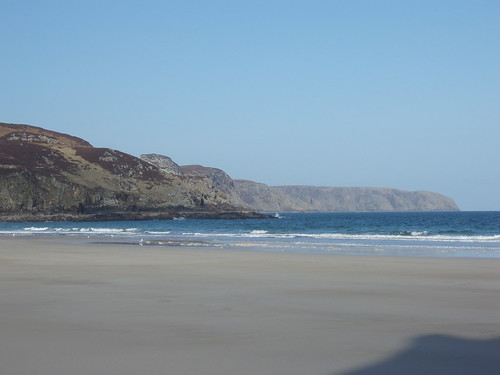
In the opposite direction, the coastline curves away to the headland of Cellar Head, Rubha an t-Seileir [Rocky Point].
Who would come to the Outer Hebrides for a beach? Well, there should be droves here. Just as well the climate is the way it is, else the hordes would descend.
You will have noticed the fulmars cozying up together; spring is on its way.