Very busy with tropical cyclones at the moment, although nothing dramatic yet.
- Ernesto is a tropical storm that has crossed the Atlantic and is currently dumping copious amounts of rain over southern Mexico. Although the system is now weakening, it is expected to reemerge over the Eastern Pacific Ocean, and regenerate into that basin's 8th tropical cyclone of the year. It is rare for tropical cyclones to cross between the two basins. Ernesto first appeared as a tropical disturbance on 30th July, around longitude 34 West. At the moment, the system is located at 95 West, meaning it has already traveled 1/6th of the earth's circumference.
- 07L is a tropical depression in the central Atlantic Ocean, which is beginning to encounter unfavourable conditions, preventing it from strengthening much. Although the Windward Islands will see it as a tropical storm, the system is not expected to survive much once into the eastern Caribbean.
- Gilma is a former hurricane in the Eastern Pacific Ocean, more than 650 miles from land, which is weakening over waters that are too cold (below 80F) to sustain a tropical cyclone.
- The Atlantic still has the remnants of Florence, currently located north of Puerto Rico, drifting west. It is not thought likely that it will turn into a tropical cyclone again.
- Just off Cape Verde we find a tropical disturbance, currently named 93L, which could well turn into a tropical depression within the next couple of hours. It is at this time of year that Cape Verde hurricanes occur, which have the width of the Atlantic to build their power.
- The Northwestern Pacific Ocean is also busy. Two disturbances are grumbling away, one near Midway Island, just west of the dateline, and one near Guam. Former typhoon Haikui is giving eastern China a wet day, and former typhoon Kirogi is headed north into the Sea of Ochotsk near Sachalin Island.
Hurricanes, typhoons, tropical cyclones are all the same thing. It is one of nature's safety valves, designed to syphon excess energy from the sun away from the equator to higher latitudes. Vertically, these systems extend to an altitude of 10 miles (50,000 feet). A combination of the earth's rotation, the energy expended and generated by evaporation and condensation of water serve to create a small but very powerful venting mechanism. Limited only by the frictional effects of water, sustained windspeeds of 180 mph have been observed in the strongest systems. However, in many instances it is not the force of the wind that creates the biggest problem - it is the amount of rainfall. One such system could dump a year's worth of rainfall (as per London average) on an area in a matter of days or even hours. In mountainous terrain, landslides and flash flooding will occur.
I scoff at sensationalism in the media who refer to hurricanes as "monsters" and "killers". It is true that lives are lost, and sometimes in huge numbers, as a result of hurricanes and typhoons. But without them, there would be no life on earth.

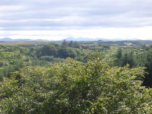 View south from Strawberry Hill
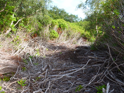
 Path across the Golf Course
 Chimney needs sweeping. And it's not the veronica bush that's the sweep