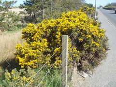
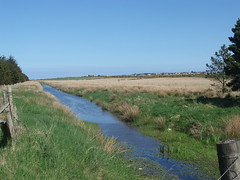
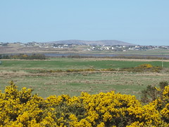
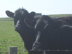
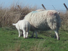
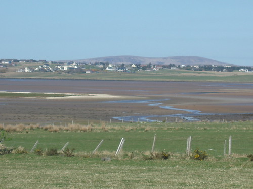
A brilliantly sunny day which has been feeling quite warm. The northeasterly breeze did make it feel a bit cool, but the sun was very warm indeed. I duly went out for a stroll, after enjoying a cup of coffee outside in the sun (and out of the wind). This took me to Steinish, then via the farm Carse of Steinish to North Street in Sandwick. A shortcut through the Old Cemetery returned me to base. I'll share some of today's pictures in the next post.
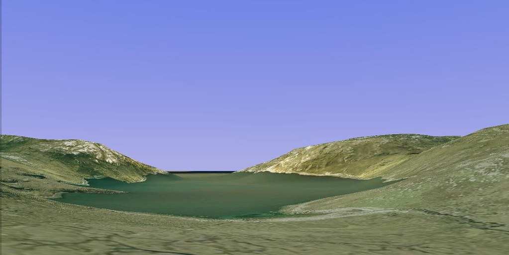
I would like to share his image, one that I obtained through Google Earth. This shows Loch Tallasvay on the southwest coast of Lewis. It lies about 7 miles southeast of the nearest habitation, the village of Brenish, and 12 miles from the nearest road-end. I came across this location whilst browsing through the 1851 census for the district of Uig. It shows two households; one has family, the other contains "labourers-on-the-road", meaning itinerant labourers.
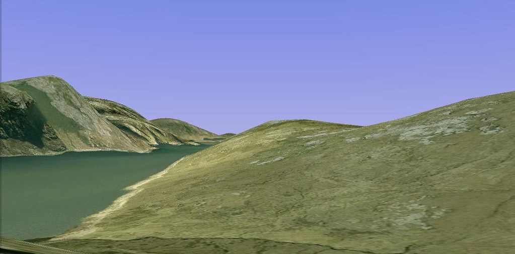
A second image, also through Google Earth shows Lamadale, located a mile south of Tallasvay on Loch Resort. The hill on the left of the image can be seen from the village of Achmore in the centre of Lewis - it is called Taran Mor. Lamadale does not feature in the 1851 census, because it had been deserted since then.