View across the Outer Harbour of Stornoway

Monday 22 August 2011

Picture post - 22 August


Sunset


Mombretia in bloom


Cloudscape this afternoon


Cloudscape 18 August


Tug & barge passing the lighthouse on 17 August

Monday 22 August

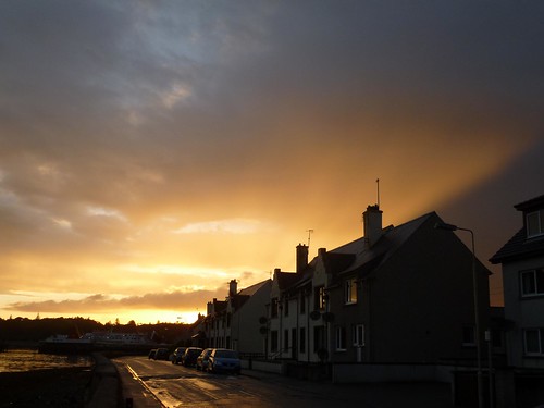
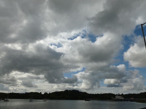
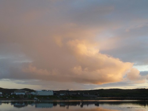
Quite a nice day, with good sunny spells, not marred by those rogue showers passing through. The sun went down, an hour ago, with some spectacular colours. As you can expect in weather conditions like those.

The news is dominated by events in Libya, which have suddenly jumped out to surprise us. The rebels have now taken over 80-95% of the capital, Tripoli; four of Gaddafi's sons are either captured or dead and the national TV station is off air. Heavy fighting continues around the compound where Gaddafi is thought to be holed up, and the situation remains fluid.

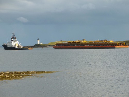
I have added another 30-odd pictures to the ShipSpotting website, to which I have been contributing since 2007. There are now 158 images of ships, boats and vessels of varying descriptions on my account. Quite a few of them are cruiseliners.

Hurricane update - 22 August

Hurricane Irene passed Puerto Rico in the early hours of the morning local time with winds of 75 mph at ground level. In the island's mountains, winds blew in excess of 110 mph. At present, the hurricane is moving away westnorthwest and has intensified to 80 mph, a trend likely to continue.

The next island in its cross-hairs is Hispaniola, with the Dominican Republic at risk of not just high winds but also heavy rainfall. The NHC talks of 5 to 10 inches, with up to 20 inches in the mountains. The deforestation that occurred in Hispaniola in the 20th century will create a severe hazard of flashfloods and mudslides.

In the longer term, Irene will go through the Bahamas and veer north, paralleling the eastern coastline of Florida at 95 knots by Saturday. There is considerable uncertainty, but the indication is there.